
The Use of Drones in Homestead Management
Enhancing Efficiency and Productivity
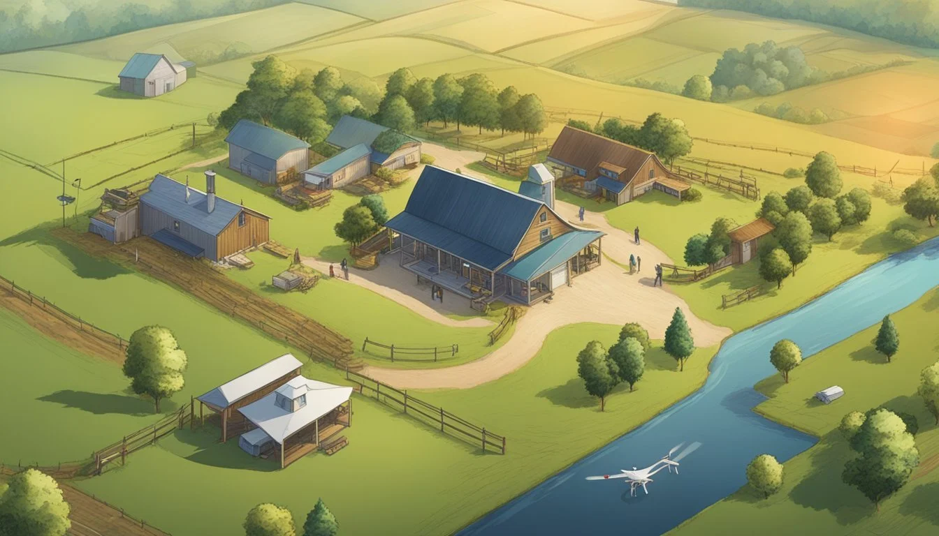
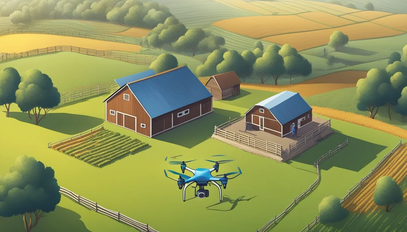
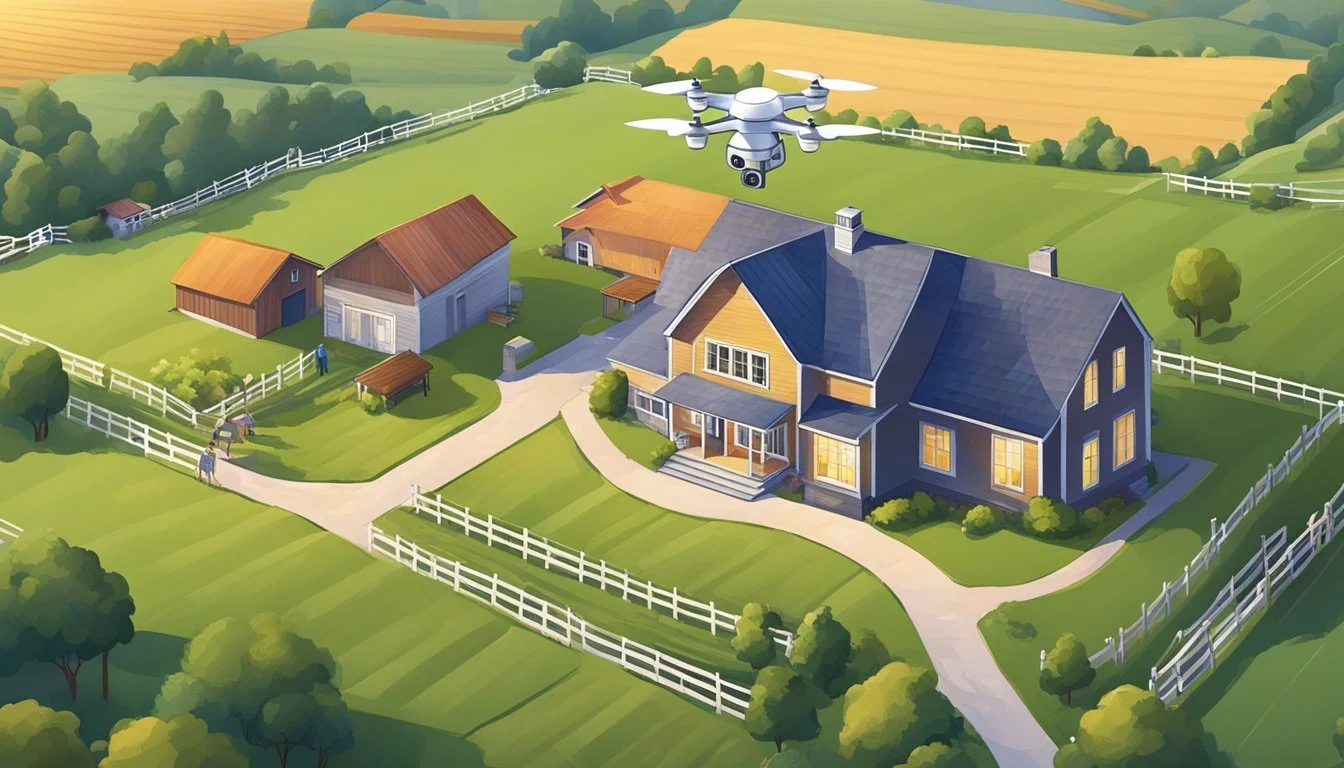
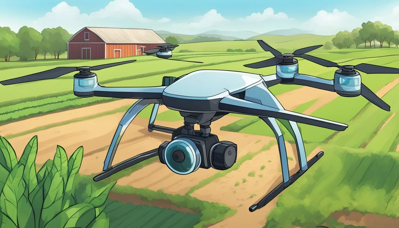
The integration of drone technology into homestead management marks a significant leap in how property owners monitor and maintain their land and resources. These aerial devices offer a bird's-eye view, enabling homesteaders to efficiently oversee vast areas and track various aspects of their property that might be time-consuming or difficult to access on foot. Utilizing drones for tasks such as checking fence lines, monitoring crop health, and even herding livestock transforms routine monitoring tasks into streamlined operations, saving time and resources.
Drones in homestead management extend their utility beyond mere observation. They are instrumental in mapping out the land, providing detailed aerial photographs and data that aid in planning and executing farm development strategies. This information proves indispensable when assessing the land for potential improvements or when verifying the condition of structures after inclement weather. The capabilities of drones to carry out precise measurements and surveys empower homesteaders with actionable insights for decision-making.
The Evolution of Drones in Property Management
In the early days of the drone industry, manned aerial surveys were the norm for property management tasks. With the emergence of Unmanned Aerial Vehicles (UAVs), the landscape began to change. Initially, drones were merely gadgets, but today they are recognized as valuable tools, bolstering efficiency across various industries, including property management.
The innovations in drone technology have been significant. Drones now possess advanced imaging capabilities, allowing for detailed aerial photography and precision mapping of real estate. These advancements transformed routine inspections and marketing for property managers by offering high-resolution visual data.
Safety and Accessibility: Drones enable access to hard-to-reach areas on a property, preventing potential risks associated with manual inspections.
Speed and Efficiency: Drones can survey large areas rapidly, decreasing the time taken to collect property data and enhancing productivity.
The drone market has responded to the property management industry's needs with specialized software and hardware solutions. As noted by DroneDeploy, these tools convert drone-captured maps into actionable plans, proving invaluable for property maintenance and insurance assessments.
By harnessing UAVs, property managers can now execute tasks with a level of precision and ease that was once unattainable. The swift evolution of drone technology continues to shape the drone market, pushing UAVs towards becoming an indispensable part of the property management toolkit.
Regulatory Landscape for Drone Operations
Navigating the regulatory framework is essential for homestead managers who use drones. These regulations ensure safety, privacy, and compliance with federal and state laws.
FAA Regulations and Permits
The Federal Aviation Administration (FAA) requires homestead managers using drones for agricultural or surveillance purposes to adhere to specific operational guidelines. Operators must obtain a Remote Pilot Certificate, which involves passing an aeronautical knowledge test. Drones must be registered if they weigh over 0.55 pounds, and operators must follow the FAA's Part 107 rules, including:
Flying at or below 400 feet
Keeping drones within visual line-of-sight
Flying during daylight or civil twilight hours
Property Boundaries and Trespassing Laws
Operating drones over private property can trigger trespassing concerns. Homestead managers must be aware of state and local regulations regarding airspace and property rights. It is generally advisable to:
Obtain permission from neighboring property owners before flight
Avoid flying drones over private properties without consent
Compliance with these guidelines helps to maintain neighborly relations and upholds the rights of property owners.
Privacy and Liability Concerns
The use of drones in homestead management poses privacy and liability risks. Operators are responsible for any damages or privacy invasions caused by their drones. Key privacy considerations include:
Avoiding capturing images or videos of people without their consent
Not flying over private events or spaces where individuals expect privacy
Homestead managers must balance the beneficial use of drones with the privacy rights of individuals to mitigate liability risks.
Drones and Site Inspections

Drones have revolutionized site inspections, enabling high-precision checking of hard-to-reach areas while ensuring personnel safety. They provide detailed imagery for analysis and aid in construction site management.
Rooftop and Infrastructure Inspections
Drones facilitate thorough inspections of rooftops and infrastructures. They easily access high and treacherous terrains, capturing images and videos that reveal damage, wear, or other issues that may not be visible from the ground. Through advanced drone inspections, estate managers can assess the condition of buildings and perform necessary maintenance proactively.
Image capture: High-resolution, zoomable images
Video recording: 360-degree videos for comprehensive views
Data analysis: Detection of structural anomalies
Safety and Risk Assessments
Using drones for safety and risk assessments minimizes the need for direct human involvement in potentially dangerous environments. They gather critical data that can be used to evaluate the overall safety of a site and pinpoint areas that may present risks to workers or the public. By flying over a site, drones reduce exposure to hazards and contribute to a safer workplace.
Risk Identification: Highlight potential safety issues
Accident Prevention: Develop strategies to mitigate identified risks
Monitoring: Continual observation of high-risk areas
Mapping and Surveying
Drones excel at mapping and surveying, offering precise topographical data and property layouts essential for future planning. They can survey vast areas in a fraction of the time it would take through traditional methods, providing up-to-date and precise maps. In construction, this helps in ensuring as-built structures align with blueprints and assist with the BIM process.
Topographical analysis: Detailed elevation maps
Site Planning: Accurate layout for improved project management
Construction Monitoring: Real-time progress tracking
This integration of drone technology into inspection practices not only improves efficiency but also enhances the precision and safety of operations across various aspects of homestead management.
Drone Integration in Maintenance and Management
The emergence of drone technology has revolutionized various aspects of homestead management, especially in maintenance and surveillance. Drones offer efficient solutions to previously labor-intensive tasks, proving to be an indispensable tool for modern homestead upkeep.
Preventative Maintenance
Drones are significantly transforming preventative maintenance for homesteads. They are equipped to inspect HVAC systems and rooftops with minimal risk, replacing the need for time-consuming and potentially dangerous manual inspections. For example, by using drones to elevate efficiency, property managers can quickly identify potential issues such as blockages or wear before they evolve into costly problems.
Asset and Landscape Management
In the realm of asset and landscape management, drones serve as agile aerial platforms, mapping extensive estates and their features. They provide detailed maps that are instrumental in planning and managing landscaping projects, as well as maintaining parking lots and other property assets. By having a comprehensive view, property managers can make informed decisions and keep track of changes over time, a key point noted by DroneDeploy's exploration of drone application.
Security and Surveillance
For security and surveillance, drones offer a dynamic and responsive surveillance system. They can be deployed to monitor large areas, providing real-time video feeds that enhance the security solutions for a homestead. Drones contribute to creating a safer living environment by acting as a deterrent for unauthorized entry and facilitating quick responses to any security breaches, as highlighted by Zeitview's guide on drones.
Technological Advancements in Drone Systems

Recent innovations in drone technologies have significantly enhanced capabilities in homestead management. With cutting-edge camera systems, sophisticated software for data analysis, and the rise of automation and drone swarms, drones are becoming indispensable tools for modern homestead management.
Camera and Video Technology
Drones equipped with high-resolution cameras and advanced video technology have revolutionized surveillance and monitoring on homesteads. They carry 4K cameras that capture detailed images and videos, making it possible to closely inspect crops and livestock from the air. These cameras often include features like zoom capabilities and thermal imaging to provide insights during both day and night.
Software and Data Analysis
The software that powers drone systems allows for comprehensive data analysis. Modern drones utilize sophisticated image recognition software that can identify issues such as plant diseases or pests. GIS integration ensures accurate mapping of large plots, while AI algorithms assist in processing complex data to make informed decisions about crop management and resource allocation.
Automation and UAV Swarms
The automation of drones has led to the development of UAV swarms, where multiple drones operate in a coordinated fashion, drastically increasing efficiency and coverage. These swarms can autonomously perform tasks like seeding, spraying pesticides, and irrigation management, without the need for hands-on control. This level of automate operation allows homestead managers to focus on strategy and planning, trusting in the drones to handle day-to-day operations.
Economic Implications of Drone Usage
The integration of drones into homestead management is reshaping the economic landscape, with clear benefits in terms of cost-efficiency, insurance savings, and enhanced profitability for various stakeholders.
Cost-Efficiency and Labor Reduction
The adoption of drones in managing homesteads significantly reduces operational costs. By employing drones for tasks such as crop monitoring or livestock surveillance, homestead managers can save on costs typically allocated to manual labor. A report details how the growth of the drone sector is predicted to deliver substantial cost savings to industries such as agriculture.
Insurance and Liability Savings
Proper drone usage also contributes to lower insurance premiums for homestead owners. Drones can assist in risk assessment and management, thereby preventing incidents that lead to insurance claims. With fewer claims, insurers are more likely to offer liability savings, supporting a leaner business model for stakeholders.
Improving Profitability for Stakeholders
Stakeholders across various economic sectors, including agriculture and construction, are likely to see an uptick in profitability due to drone utilization. The economic potential of drones is substantial, with drones providing new avenues for revenue through enhanced efficiency and data acquisition capabilities, leading to better-informed decision-making processes.
Application in Specialized Tasks
Drones are revolutionizing specialized tasks in homestead management by offering precise measurements and high-definition imaging capabilities. They enhance efficiency and provide critical data that support decision-making across various industries.
Solar Panel Inspections
Unmanned aerial vehicles (UAVs) are instrumental in conducting solar panel inspections. They can quickly and safely capture high-resolution images, identifying defects such as cracks and dirt accumulation that can affect solar efficiency. By utilizing thermal imaging, drones assess the performance of individual solar cells, allowing for targeted maintenance.
Mining and Quarry Management
In mining and quarry management, drones provide a wealth of benefits. Aerial surveys conducted by drones offer detailed topographic data, which helps in calculating stockpile volumes, monitoring site conditions, and ensuring safety regulations are met. They can operate in hazardous areas, reducing the risk to personnel, while delivering accurate measurements crucial for operational planning.
Agriculture and Real Estate
Within agriculture, drones optimize crop management through regular monitoring, which aids in assessing plant health, irrigation needs, and pest control strategies. For real estate, they assist in property assessment by documenting a property's size and condition with aerial photography, facilitating virtual tours, and supporting promotional activities for listings. Realtors are increasingly turning to drone technology for its ability to provide potential buyers with a unique perspective of a property, enhancing its marketability.
In both sectors, drones streamline data collection for improved management and commercial potential, from the health of crop yields to the allure of real estate properties.
Drones for Property Owner Communications
Drones are revolutionizing communication strategies in homestead management by providing dynamic media content, detailed reporting, and enhanced interaction with tenants.
Media and Marketing
Property managers now harness drone technology to create compelling visual content for marketing purposes. By capturing high-resolution images and videos, they effectively showcase the properties in their portfolio. This appeals to potential property owners and tenants, providing a unique perspective that ground-level photographs simply cannot match. For instance, a sweeping aerial view of a residential complex can highlight amenities and the surrounding landscape, making it more attractive to prospective residents.
Reporting and Insights
Project managers and property managers utilize drone footage to generate accurate reports and gain valuable insights into property conditions. This can range from the status of construction projects to assessments for insurance companies. Drones allow for quick inspections of hard-to-reach areas, providing real-time data that contributes to proactive maintenance and management decisions. As a result, property owners are better informed about their investments.
Types of Reports Generated by Drones:
Roof and facade inspections
Landscaping and common area evaluations
Infrastructure and accessibility surveys
Engaging with Tenants
Drones offer an innovative way to engage with tenants. Through virtual tours and event filming, tenants can be part of community experiences without physical presence. Property managers can use this technology to communicate changes, updates, or new features within the property, fostering a sense of community and transparency. They also enable prompt responses to tenant inquiries about property conditions or upcoming improvements.
Emerging Challenges and Public Opinion
The integration of drones into homestead management heralds both promising advancements and raises significant challenges. As they become more prevalent, concerns center around air traffic, privacy, environmental impacts, and societal perceptions. Each of these areas faces scrutiny from the public and regulatory agencies, underscoring the need for careful management.
Concerns over Air Traffic and Privacy
The increased use of drones near residential areas provokes worry about air traffic safety and personal privacy. Regulatory agencies have the arduous task of crafting and enforcing rules to ensure drones do not interfere with commercial air traffic control systems. Simultaneously, there is a pressing need to protect individuals' privacy, as drones can easily capture images and videos of private properties.
Drone Noise and Environmental Impacts
Drone noise has emerged as an unexpected nuisance, disrupting the tranquility of rural and urban settings alike. Furthermore, despite their small size, drones can have environmental impacts, particularly when considering their cumulative effect on wildlife and ecosystems. Regulatory guidelines are still evolving to address these concerns while balancing the benefits of drone technology.
Acceptance and Social Perceptions
The path to public acceptance of drones in homestead management is complex. Social perceptions are influenced by the technology's potential for surveillance, with many individuals opposed to drones monitoring personal activities. Yet, when their benefits are clearly demonstrated and privacy concerns are addressed, public opinion shows signs of warming up to their broader use.
Future Prospects of Drone Technology
Innovation within the drone industry underscores a future ripe with growth and expanding commercial applications. Drones have advanced beyond simple aerial photography, now playing pivotal roles in various sectors, such as agricultural monitoring, real estate, and infrastructure inspections. The drone market is poised to surge given these new utilities, with forecasts hinting at a significant expansion in market size and diversity of products offered.
Acceptance of drones is growing as regulatory frameworks evolve to accommodate the increasing presence of UAVs in commercial airspace. Companies are investing in technology that allows drones to operate with greater autonomy and resilience, contributing to a dynamic industry landscape.
The future may see drones used extensively for delivery services, environmental monitoring, and enhanced disaster response, with multirotor models dominating due to their ease of use and stability. As the drone industry continues to mature, it innovates in response to demands for increased efficiency, safety, and sustainability.
Growth factors:
Evolution of regulatory landscapes.
Advancements in autonomous flight and AI integration.
Increases in long-range and beyond visual line of sight (BVLOS) operations.
Expanding use in managing properties and estates.
The potential for drones to revolutionize day-to-day management of property portfolios is significant. They become invaluable tools for detailed mapping, structural analysis, and routine surveillance, each application serving to better inform decisions and maintain standards.
